List of historical maps
This is an incomplete, work in progress list of historical maps serving as a basis for further research and analysis of the maps in more detail. Some of the entries in this list may be regarded as "fake", others may be really from the year the mainstream says they are and others may be a mixture. The purpose of this list is not to jump to conclusions but to list observations and peculiarities with these maps.[AC 1][AC 2]
Included in the list below are observations on 5 elements; Arctic land, Antarctica, Australia, "Frisland" and Tartaria.
- Arctic land ("Hyperborea") appears in many of the maps, either as islands, as continuation of Canada, Scandinavia or Russia or as a continuous landmass
- Antarctica in some of the maps is depicted as a continuous landmass, in others as connected to Australia and in others completely missing
- Australia appears in different forms too, even predating the "official" years of discovery (Abel Tasman, 1642) or colonization (Cook, 1778)
- "Frisland" is a phantom island shown on many of the maps. According to mainstream history, this island was "invented" by Venetian Nicolò Zeno in 1558, who claimed he had maps and logs by one of his ancestors, another Nicolò Zeno, who "discovered" the Americas around 1380. What is interesting though is that this phantom "Frisland" (written in various spellings) also is present on maps and globes before the year 1558. On the other hand, in some of the maps dated to the period in which this phantom island was commonly placed on maps (approximately 1560-1660), it is not shown.[ab 1][RE 1]
- Tartaria is a popular internet meme of 2018-19 and is named as such on many of the maps, with different placements from west of the Urals to what we now call Siberia. Also here it is interesting to see the differences between the maps.
List
| Y | Shown on map |
| N | Not shown on map |
| - | Not observable/outside of map scope |
| 1 | First mention in official history |
| X | Mismatch with official history |
| A | Australia and Antarctica connected |
| No Wikipedia article | |
| Long timespan between publication and (re)discovery/(re)publication | |
| Arc = Arctic, Ant = Antarctica, Aus = Australia, Fri = "Frisland", Tar = Tartaria | |
| Year disc. = Year of (re)discovery, Time = Time in years between year of publication and (re)discovery | |
| Year | Author(s) | Nationality | Type | Year disc. |
Time | Map name | Arc | Ant | Aus | Fri | Tar | Author link | Map link | Map image | Research | Remarks |
|---|---|---|---|---|---|---|---|---|---|---|---|---|---|---|---|---|
| 1415 | De Virga, Albertinus | Venetian | Map | lost | De Virga world map | Y | N | Y | - | - | [WP 1] | [WP 2] | Lost with Heidelberg family late 1930s? | |||
| 1450 | Mauro, Fra | Venetian | Map | Fra Mauro map | Y | - | - | - | - | [WP 3] | [WP 4] | Fra Mauro name used for Apollo 14 landing site. | ||||
| 1490~ | Hammer, Heinrich | Nuremberg | Map | 1960s | 470~ | "Map of the world of Christopher Columbus" | N | - | - | N | Y | [WP 5] | [AC 2] | Held by Yale "Voynich / Skull&Bones" University. Rediscovered in 1960s? | ||
| 1492 | Behaim, Martin | Nuremberg | Globe | Erdapfel | Y | N | N | - | - | [WP 6] | [WP 7] | Creation-early 16th century in Nuremberg town hall. Afterwards held by Behaim family. In 1907, transferred to Germanic Museum, Nuremberg. | ||||
| 1500 | De la Cosa, Juan | Castilian | Map | Map of Juan de la Cosa | - | N | N | N | - | [WP 8] | [WP 9] | [ab 2] | Juan de la Cosa = "John of the Thing" | |||
| 1502~ | Cantino, Alberto | Portuguese | Map | 1859 | 357 | Cantino planisphere | - | N | N | X | - | [WP 10] | [WP 11] | [ab 2] [AC 2] |
Found in a butcher's store (1859). Frisland appears 56 years before invention. | |
| 1504 | anonymous | ? | Map | King-Hamy Planisphere | N | N | N | N | N | [WP 12] | Scotland is an island. | |||||
| 1504~ | Maggiolo, Vesconte | Genovese | Map | Vesconte Maggiolo map (1504/1516) | - | N | - | N | - | [WP 13] | [RE 2] | Wikipedia dates it to 1516. | ||||
| 1506 | Contarini, Giovanni | Venetian | Map | Contarini-Rosselli map | N | - | N | N | - | [WP 14] | [WP 15] | [ab 2] [AC 2] |
Only 1 surviving copy. | |||
| Rosselli, Francesco | Firenzan | [WP 16] | ||||||||||||||
| 1506~ | De Caveri, Nicolò | Genovese | Map | Caverio map | - | N | N | N | Y | [WP 17] | [WP 18] | [RE 2] [AC 2] |
N-American east coast drawn with surprising accuracy, before Ponce de León (1512/1513). Looks authentic though. | |||
| 1507 | Waldseemüller, Martin | Lovingian | Map | Universalis Cosmographia | N | N | N | N | Y | [WP 19] | [WP 20] | [AC 2] | First map with "America". South America = "invented province". Tartaria W of Urals. | |||
| 1507 | Ruysch, Johannes | Dutch | Map | Ruysch planisphere | Y | - | - | N | Y | [WP 21] | [WP 22] | [AC 2] | North America as part of Asia. Tartaria far north. | |||
| 1508 | Rosselli, Francisco | Firenzan | Map | ' | Y | Y | N | N | N | [WP 16] | [AC 2] | Antarctica and Arctic land shown. Tartaria not shown. | ||||
| 1510 | anonymous | ? | Globe | 1855 | 345 | Hunt-Lenox Globe | N | N | N | N | N | [WP 23] | Origins unknown pre-2013. Purchased 1855 by Richard Hunt. Earliest article from 1879. | |||
| 1510 | anonymous | ? | Globe | 1870s | 360~ | Globus Jagellonicus | N | N | N | X | Y | [WP 24] | [AC 2] | Ridiculous map; fantasy islands. "America" in Indian Ocean. Frisland appears. "Rediscovered" in 1870s. | ||
| 1511 | Sylvanus, Bernardo | Venetian | Map | Sylvanus planisphere | N | N | N | N | N | [WP 25] | [RE 3] | Showing none of the speculative lands, nor naming Tartaria. | ||||
| 1513 | Reis, Piri | Ottoman | Map | 1929 | 416 | Piri Reis map | - | Y | - | - | - | [WP 26] | [WP 27] | [ab 2] [AC 1] [AC 2] |
Famous map showing Antarctica. "Lost" for 416 years?? | |
| 1520 | Coppo, Pietro | Venetian | Map | De toto orbe | N | - | - | N | Y | [WP 28] | Map is a joke (Scandinavia, India, fantasy isles). | |||||
| 1522 | Fries, Lorenz | Alsatian | Map | Tabu. Nova Orbis | N | - | - | N | Y | [WP 29] | No speculative lands, Tartaria E of Urals. | |||||
| 1525~ | García de Toreno, Nuno | Andalusian? | Map | Salviati Planisphere | N | N | N | N | - | [WP 30] | No speculative lands. | |||||
| 1527/29 | Ribeiro, Diogo | Portuguese | Map | 1887 | 360 | Padrón Real | N | N | N | - | N | [WP 31] | [WP 32] | First scientific map, constantly updated. Frisland appears? Tartaria not named. Version of ~1887?? | ||
| 1531 | Maggiolo, Vesconte | Genovese | Map | Vesconte Maggiolo map (1531) | - | N | N | N | - | [WP 13] | [MS 1] | map image | 1st map with New York. | |||
| 1531 | Finé, Oronce | French | Map | Nova et Integra Universi Orbis Descriptio | Y | Y | N | N | Y | [WP 33] | Arctic land; 4 islands. Antarctica huge. | |||||
| 1536 | Finé, Oronce | French | Map | Nova Universi Orbis Descriptio | Y | Y | N | N | - | [WP 33] | Arctic land; 4 islands. Antarctica huge. | |||||
| 1542 | Rotz, Jean | French | Map | Mappemonde | N | A | A | N | - | [WP 34] | Mediterranean well done. Scandinavia & South America a joke. Phantom island in Indian Ocean. Australia & Antarctica already there. | |||||
| 1551 | Mercator, Gerardus | Flemish | Map | ' | Y | Y | N | X | N | [WP 35] | [AC 2] | No Australia. Antarctica. Frisland 7 years before Zeno. | ||||
| 1558 | Zeno, Nicolò | Venetian | Map | 1793 | 235 | Zeno map | - | - | - | 1 | - | [WP 36] | [WP 37] | [ab 1] [AC 1] [AC 2] |
Alleged invention of "Frisland". Admitted fakery of 1380s "original". Map "reproduction" in 1793. | |
| 1562 | Gutiérrez, Diego | Spanish | Map | Americae Sive Quartae Orbis Partis Nova Et Exactissima Descriptio | - | Y | - | - | - | [WP 38] | [WP 39] | First map naming "California". | ||||
| 1569 | Mercator, Gerardus | Flemish | Map | Nova et Aucta Orbis Terrae Descriptio ad Usum Navigantium Emendate Accommodata | Y | A | A | Y | Y | [WP 35] | [WP 40] | Australia and Antarctica connect, 18 years before no Australia. | ||||
| 1570 | Ortelius, Abraham | Flemish | Map | Theatrum Orbis Terrarium | Y | A | A | Y | Y | [WP 41] | [WP 42] | Japan is a joke. Tartaria around Urals. | ||||
| 1602 | Ricci, Matteo | Urbinese | Map | Kunyu Wanguo Quantu | Y | A | A | Y | - | [WP 43] | [WP 44] | [ab 2] | Italy is a joke. Jesuit cartographer. | |||
| 1612 | Gherrijtsz. van Assum, Hessel | Dutch | Map | ' | N | A | A | Y | Y | [WP 45] | Australia connected with Antarctica. Frisland. Tartaria spans Urals. | |||||
| 1622 | Gherrijtsz. van Assum, Hessel | Dutch | Map | ' | Y | A | A | - | - | [WP 45] | Australia connected with Antarctica only in inset, no Antarctica on main map. Arctic now land, 10 yrs later. | |||||
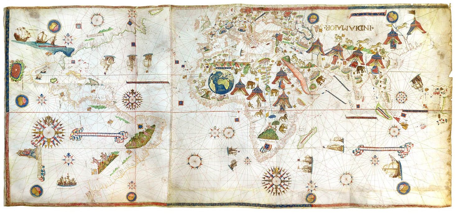
| 1674 | Verbiest, Ferdinand | Flemish | Map | Kunyu Quantu | Y | Y | Y | Y | - | [WP 46] | [WP 47] | [ab 2] | Animals in Antarctica. | |||
| 1695 | Valck, Gerard | Dutch | Map | Novus Planiglobii Terrestris per Utrumque Polum Conspectus | N | N | Y | N | Y | [WP 48] | [MS 2] | [ab 2] | No Artic land. Antarctica. Australia partly. Tartaria E of Urals. | |||
| 1744 | Crophius, Martin Gottfried | Augsburg | Map | Planisphaerium coeleste | Y | Y | Y | Y | Y | [MS 3] | Geocentric (Ptolemean) worldview. | |||||
| Lotter, Tobias Conrad | Augsburg | [WP 49] | ||||||||||||||
| Silbereisen, Andreas | Bavarian | [MS 4] [MS 5] | ||||||||||||||
| Seutter, Albrecht Carl | Augsburg | [MS 6] | ||||||||||||||
| Seutter, Mattäus | Augsburg | [WP 50] | ||||||||||||||
| Weyerman, Jacob Campo | Dutch | [WP 51] | ||||||||||||||
.jpg)
_Britannica.png)
.jpg)
.jpg)
References
Fakeologist
Afternoon Commute Institute
Other research
Wikipedia
- ↑ Albertinus de Virga
- ↑ De Virga world map
- ↑ Fra Mauro
- ↑ Fra Mauro map
- ↑ Henricus Martellus Germanus
- ↑ Martin Behaim
- ↑ Erdapfel
- ↑ Juan de la Cosa
- ↑ Map of Juan de la Cosa
- ↑ Alberto Cantino (de)
- ↑ Cantino planisphere
- ↑ King-Hamy planisphere (es)
- ↑ 13.0 13.1 Visconte Maggiolo
- ↑ Giovanni Contarini
- ↑ Contarini-Rosselli map
- ↑ 16.0 16.1 Francesco Rosselli
- ↑ Nicolò de Caveri
- ↑ Caverio map
- ↑ Martin Waldseemüller
- ↑ Waldseemüller map
- ↑ Johannes Ruysch
- ↑ Ruysch planisphere (es)
- ↑ Hunt-Lenox Globe
- ↑ Globus Jagellonicus
- ↑ Sylvanus planisphere (es)
- ↑ Piri Reis
- ↑ Piri Reis map
- ↑ Pietro Coppo
- ↑ Lorenz Fries (de)
- ↑ Salviati Planisphere
- ↑ Diogo Ribeiro
- ↑ Padrón Real
- ↑ 33.0 33.1 Oronce Finé
- ↑ Jean Rotz
- ↑ 35.0 35.1 Gerardus Mercator
- ↑ Zeno brothers
- ↑ Zeno map
- ↑ Diego Gutiérrez
- ↑ Americae Sive Quartae Orbis Partis Nova Et Exactissima Descriptio
- ↑ Mercator 1569 world map
- ↑ Abraham Ortelius
- ↑ Theatrum Orbis Terrarium
- ↑ Matteo Ricci
- ↑ Kunyu Wanguo Quantu
- ↑ 45.0 45.1 Hessel Gerritsz
- ↑ Ferdinand Verbiest
- ↑ Kunyu Quantu
- ↑ Gerard Valck
- ↑ Tobias Conrad Lotter (de)
- ↑ Mattäus Seutter
- ↑ Jacob Campo Weyerman
Other mainstream
- ↑ Oldest map of New York may become most expensive map ever sold at $10M - 6sqft
- ↑ Novus Planiglobii Terrestris on sale for $6500
- ↑ Martin Gottfried Crophius - MET
- ↑ Andreas Silbereisen - WorldCat
- ↑ Andreas Silbereisen - Geni
- ↑ Albrecht Carl Seutter - Rare Maps
External links
- Fake History of Australia: Cities Ready to Be Occupied For The Settlers (pt 1) - YouTube video - 50:58
- What Happened to History & Where Are We Going? - Max Igan on Tartaria - YouTube video - 55:16
- 9 Ancient Maps That Should Not Exist - Mysterious Earth
- List of historical world maps (de) - Wikipedia